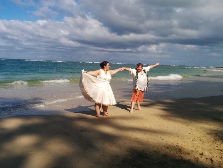
Kokololio Beach
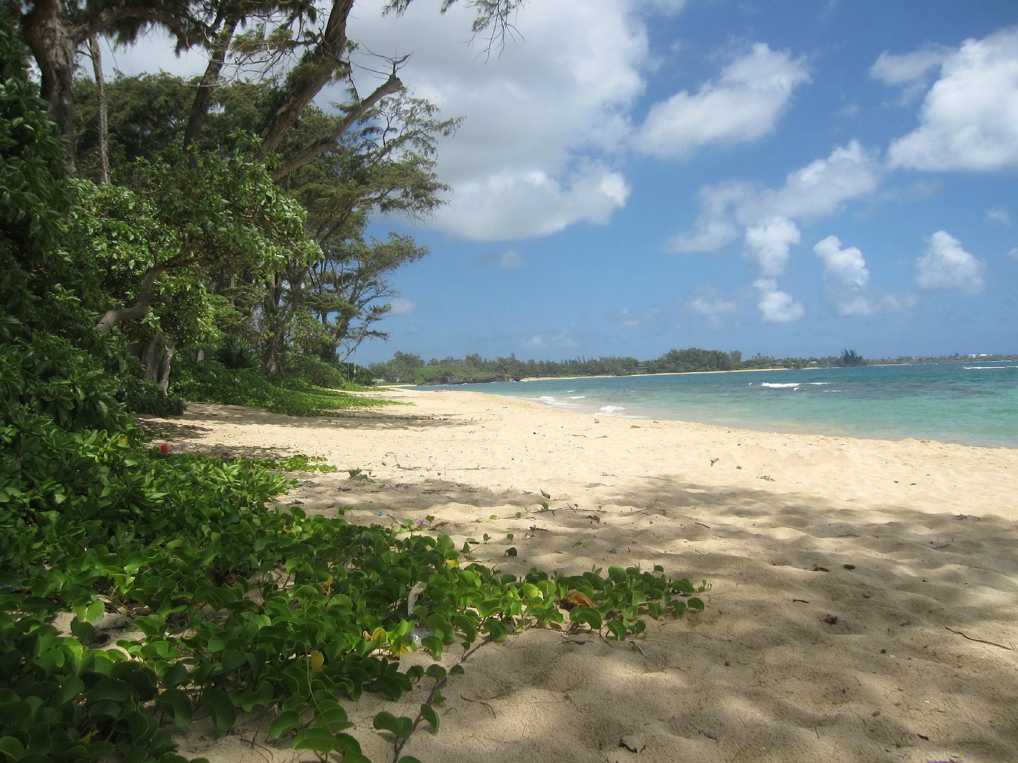
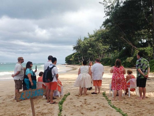
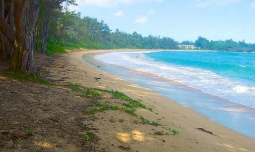
Stunningly beautiful beach and great for swimming during many days in the summer where one can see some beautiful marine life. Winter time the beach is popular among surfers and bodyboarders.
The view is spectacular at the beach curving at the northern end with some
stunning houses located along the beach. Kokololio, meaning “gusty” in
Hawaiian, is the name of a valley and a stream, located north of the town
Hau'ula on Oahu's northeastern shore. The beach park lies at the foot of the
valley and next to the stream. Kokololio Beach is a nice stretch of sand and
during the summer months, swimming is possible here.
During weekends, especially in the summer months, local residents like to
camp at Kokololio.The beach park is a county camp site, but permits are
required. In the winter time, it's a nice spot to take some great pictures of the
pounding shorebreak or to go surfing or bodyboarding.
The limestone sea cliff that reaches into the ocean on the northern end of the
beach is called Pali Kiloi'a, meaning “fish-spotter cliff” in the Hawaiian
language. The ancient Hawaiians used this cliff to locate fish in the bay.
From up here they gave directions to net fishermen in their canoes. The area
is still a popular site for fishermen today, who fish for o'io, moi, papio and
ulua Giant Trevally).
When you step onto secluded Kokololio beach, it’s like finding your own little
private oasis. You have a serene white sand beach, lots of shady trees, and
soft grassy areas that practically scream “ideal picnic spot”.
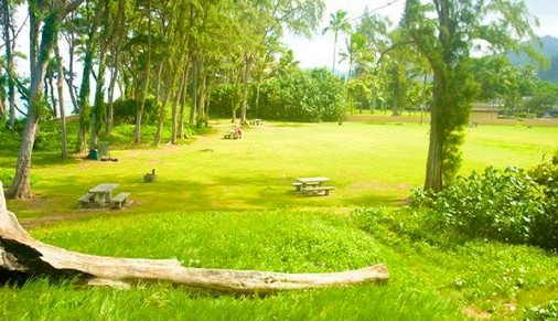
It doesn't get any better than this! Plenty of off-street parking, huge lawn,
bathrooms & showers, picnic tables.....long, long stretch of powdery
sand....some reef where hubby can fish and other areas of sand bottom for a
ways out for perfect swimming or playing in the waves and lots of shade right
on the sand. Best part...during the week you practically have it all to
yourselves.
Between 1846 and 1848, the traditional Hawaiian feudal ownership of land by
the king, the ali'i nui, and his leading chiefs or konohiki was changed through
the Great Mahele, or major land division. The result was that the chiefs
received about 1,500,000 acres (6,100 km2), the king kept about 1 million
acres (4,000 km2), which were called crown lands, and about 1 million acres
(4,000 km2) were set aside as government lands.
The land of the mahele itself was cut up into parcels, much like the traditional
Hawaiian land divisions, centering on the ahupua'a, which followed a fairly
uniform pattern. The village of Laie is located in the ahupua'a of Laie. As
such, Laie followed the general pattern of life in the ahupua'a, but only the
valleys in the foothills had ample water. There were ten streams that flowed
through the ahupua'a of Laie before 1865.
Their names were Kahooleinapea, Kaluakauila, Kahawainui, Kaihihi,
Kawaipapa, Kawauwai, Wailele, Koloa, Akakii, and Kokololio. There were
more streams flowing through the ahupua'a of Laie than through any of the
other surrounding ahupua'a, including Kaipapau and Hauula to the southeast
and Malaekahana, Keana, and Kahuku to the northwest.
